Event Guide
In this guide
Welcome to Karhunkierros! This guide covers the key instructions before the start, on the route and at the finish. Details may still be updated before the event. Start with the page for your distance: it covers the route, mandatory gear, aid stations and any cut-off times. For registration and fee information, see the registration information.
Before the event
Check the page for your distancefor your start location, gear requirements and any cut-off times. Also check that your registration details are correct. For changes to your details and how to use your personal registration link, see the registration information.
When you register, choose a broad start window : a period during which you intend to set off. It does not tell you your exact start time yet. In spring, choose a bus departure if you are taking the bus, or an arrival time at the start area if you are making your own way there. You will receive more detailed personal information when these choices open.
If you want to arrive at the start area with a friend, choose the same broad start window where possible, then suitable bus departures or arrival times. We cannot promise that you will set off on the route at exactly the same time.
Event week timetable
All times are Finnish local time. These are the bib pickup times and the times when starts begin. Staff release participants onto the route according to conditions at the start area. “From” means the first starts, rather than one start time for everyone.
Thursday 27 May 2027
- 17:00–21:00 – Bib pickup for all distances in Ruka
Friday 28 May 2027
- 07:00–07:45 – Bib pickup for the 166 km in Ruka
- 08:00 – 166 km start in Ruka
- 12:00–21:00 – Bib pickup for all distances in Ruka
- From 18:00 – 55 km starts at Oulanka Visitor Centre
- From 22:00 – 83 km starts at Napapiiri / Hautajärvi
Saturday 29 May 2027
- 08:00–15:45 – Bib pickup for the 34 and 13 km in Ruka
- From 10:00 – 34 km starts in Juuma
- From 16:00 – 13 km starts in Ruka
- 19:00 – Prize giving in Ruka
Getting to Ruka and collecting your bib
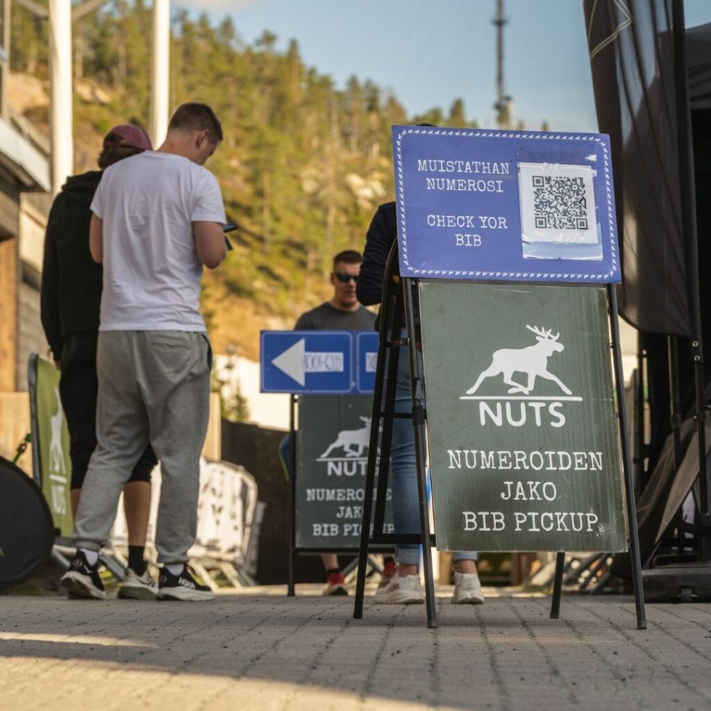
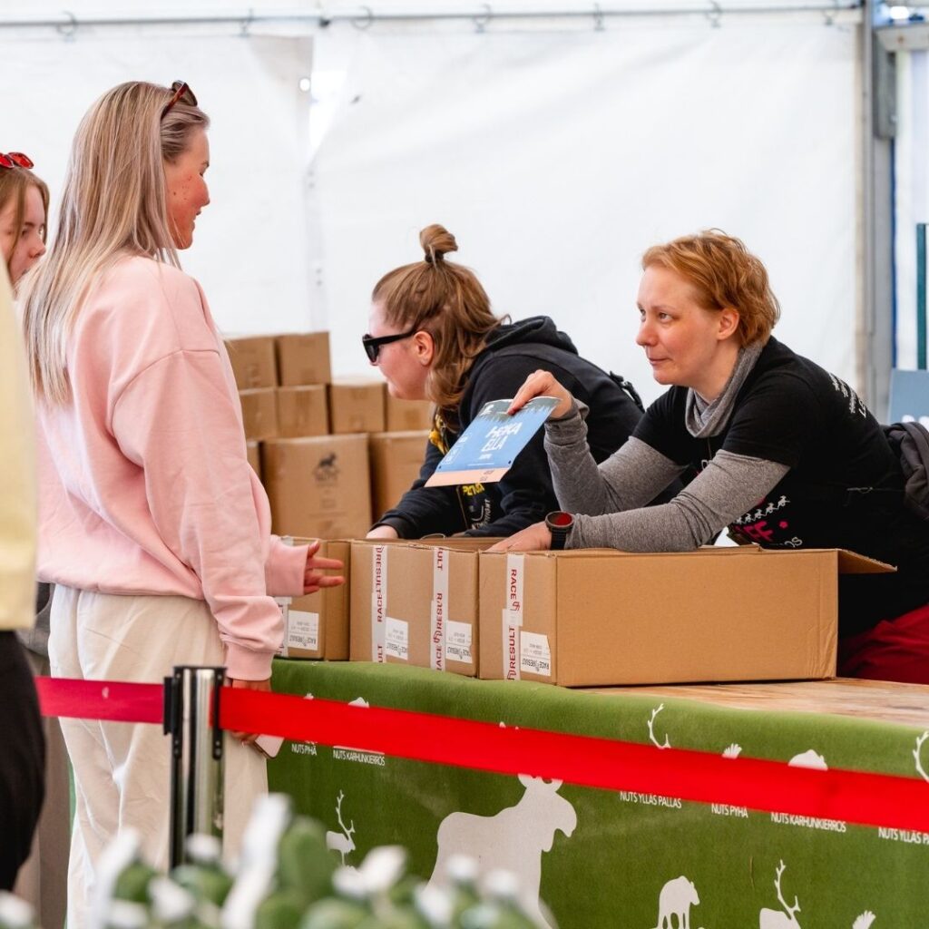
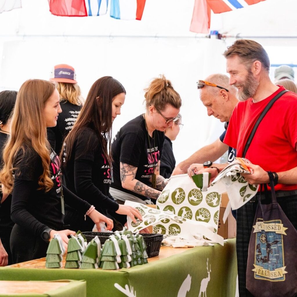
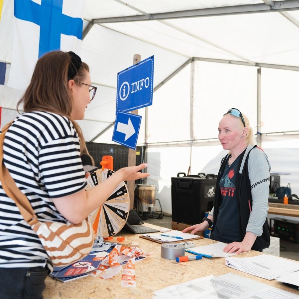
Collect your bib at the event centre in Ruka pedestrian village, Rukankyläntie 6, during the times above. Do this before heading to your start. You will receive your bib and safety pins, along with the bags and labels for your distance. Check where your distance starts and whether you are taking the bus or making your own way to the start area.
Parking in Ruka is limited. Use shared transport or carpool where possible, and follow the signs on site.
If you have booked GPS tracking
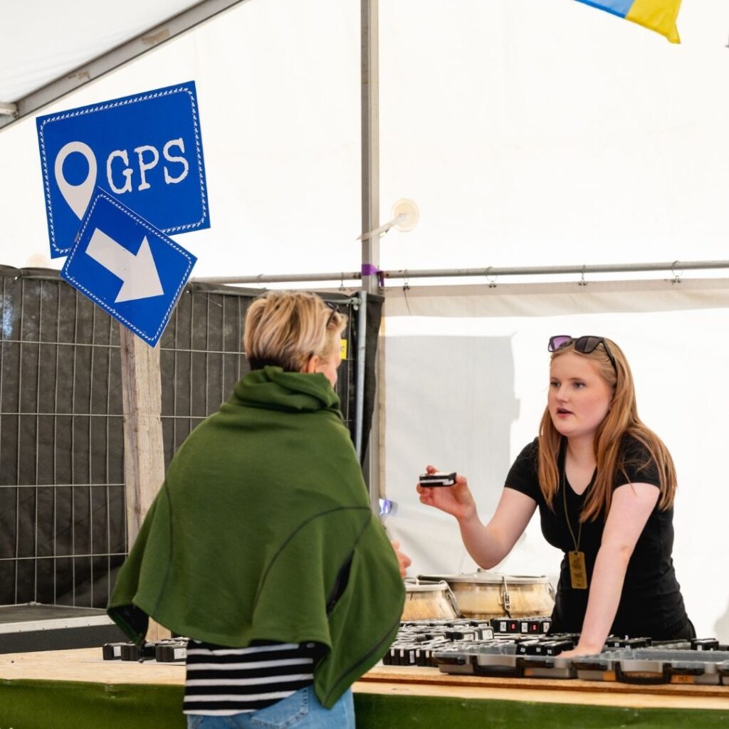
GPS tracking is a separate rental service. Collect your booked device when you pick up your bib. Instructions will be sent by email. Before the start, follow the instructions to check that your device appears in the tracking service. Do not cover it with an emergency blanket or water bottle, as this may weaken the signal. GPS tracking lets friends and family follow your location on a map; it is a separate service from live results.
Getting to the start
The 166 and 13 km start in Ruka. The 83 km start area is at Napapiiri in Hautajärvi, the 55 km at Oulanka Visitor Centre and the 34 km in Juuma. A bus from Ruka to these three start areas is available for an extra fee. Allow around 30–45 minutes for the bus journey. You choose your bus departure in spring; the bus departure time is not your start time on the route. For the price and how to book, see the registration information.
If you are making your own way to the start area, arrive at the time given to you. Carpool where possible and do not block the road when parking. In Ruka, use the parking areas indicated by the event. Parking is available in Juuma, but traffic arrangements on the road to the Basecamp aid station may restrict access. Parking at Oulanka and Napapiiri is very limited. If driving to Oulanka, be prepared to park at Korpihovi in Käylä and continue by local transport; final parking and transport instructions will be provided before the event. Choose the bus to the start if you do not need your own car at the start area.
At the start area and setting off
Portable toilets are available at the start areas. There is no separate water point at the 34, 55 or 83 km start areas, so fill your bottles or hydration bladder before you arrive. If another distance has an aid station at your start area, it is not available to participants preparing to start.
Allow time to finish preparing your gear and leave your start bag, if applicable. When you are ready, follow the staff’s instructions and make your way to the start. Staff release participants onto the route according to conditions at the start area and on the route. Your timing begins when you actually set off on the route. Follow the instructions given on site.
Bags
On the 34, 55 or 83 km, you can leave a start bag with your clothes before you set off. The organiser brings it to the finish in Ruka. Label the bag with the detachable name and number tag at the bottom of your bib, and close it carefully to keep your clothes safe and clean.
A drop bag is taken to an aid station for you: Oulanka and Hautajärvi on the 166 km, and Oulanka on the 83 km. Use the label supplied for that aid station. You must not put poles in a drop bag or leave them at an aid station.
The provisional drop bag handover deadlines are 07:30 on Friday 28 May for the 166 km or 20:00 on Friday 28 May for the 83 km at the location indicated during bib pickup. Drop bags are not available on the other distances. Event week instructions will explain where to leave your start bag and when to collect bags after their return.
On the route and at aid stations
Follow the NUTS event markings: marker flags, direction signs and NUTS tape. Check the route, aid stations and mandatory gear for your distance on the distance page. Carry your mandatory gear from start to finish. It may be checked at the start or along the route.
Aid stations provide water, sports drink and salty and sweet food, such as crisps, chocolate and fruit. Aid stations on the longer distances also offer hot food, coffee and tea. The selection varies between stations, so not every product is available at every station. Brands, exact dishes and options for special diets will be announced separately. Bring your own cup and spoon: there are no disposable cups or spoons at aid stations. Portable toilets are available at aid stations.
Respect nature and other trail users. Take rubbish to the bins at aid stations and follow the instructions of organisers, traffic marshals and safety staff.
Cut-off times
Some distances have cut-off times along the route and at the finish. These are measured from your actual start on the route. Check the cut-off times on your distance page and plan your progress accordingly. If you reach a cut-off time, follow the organiser’s instructions.
If you withdraw or need help
In an emergency, call 112 first and give your location. Then inform the event emergency team. The event emergency number is +358 40 6605 281. Save it on your phone and keep your phone ready to use. Answer calls from the organiser even if everything is fine: the call may concern your safety or that of another participant.
If you withdraw, do not leave the route without telling anyone. Inform both the event emergency team and aid station staff so that you are not searched for unnecessarily. Your entry fee includes transport from aid stations to the finish for participants who have withdrawn. If you are elsewhere or the circumstances are unusual, call the event emergency team for instructions. You may need to walk several kilometres from an aid station to reach transport, and help may take time to arrive. Keep warm and follow the team’s instructions. If you cannot move or the situation is serious, call 112 first.
Prepare for cold weather in May, possible snow and flooded streams. Take care when crossing roads, on wet roots, rocks and boardwalks, and on suspension bridges. Do not run on a suspension bridge and observe its limit on the number of people. Stay on the marked route, especially in the national park. Drinking untreated natural water is at your own risk. Help anyone who needs assistance and make sure you have appropriate insurance cover.
At the finish
Every distance finishes in Ruka pedestrian village. You will receive a medal and a hot meal at the finish; a vegetarian option is available. There are portable toilets, and day visitors can use the showers or sauna at the Ski Stadium (Hiihtostadion). Sauna opening times and directions will be provided before the event. Collect your start bag or drop bag, if applicable, following the organiser’s instructions. Collection points and return times will be included in the event week instructions.
After the event
Check your result in the event’s results service once the link is published. Results and photo links, along with lost property instructions, will be added to this guide when available. If you have a query about your result or left an item at the event area, use the contact channel announced by the event.
Rules and safety
Carry the mandatory gear for your distance, stay on the marked route and follow the organiser’s instructions. Check the gear and any cut-off times for your distance.
You may be disqualified or given a time penalty for littering, unsporting behaviour, failing to help another trail user, missing mandatory gear, taking a shortcut, skipping an aid station or exceeding a cut-off time. Also follow the trail running etiquette.
Supporters and personal support
Friends and family are welcome to cheer you on in areas open to the public. Being a supporter does not, by itself, give someone permission to assist a participant or give them gear or food. A personal support person is someone nominated or identified by the participant. Instructions and any restrictions on personal support will be published in a separate guide for personal support. In an emergency, help anyone who needs assistance: the limits on personal support do not apply to emergency help or the duty to help others.
What’s new
Changes
We reserve the right to make changes. Check the latest instructions on this website before the event.